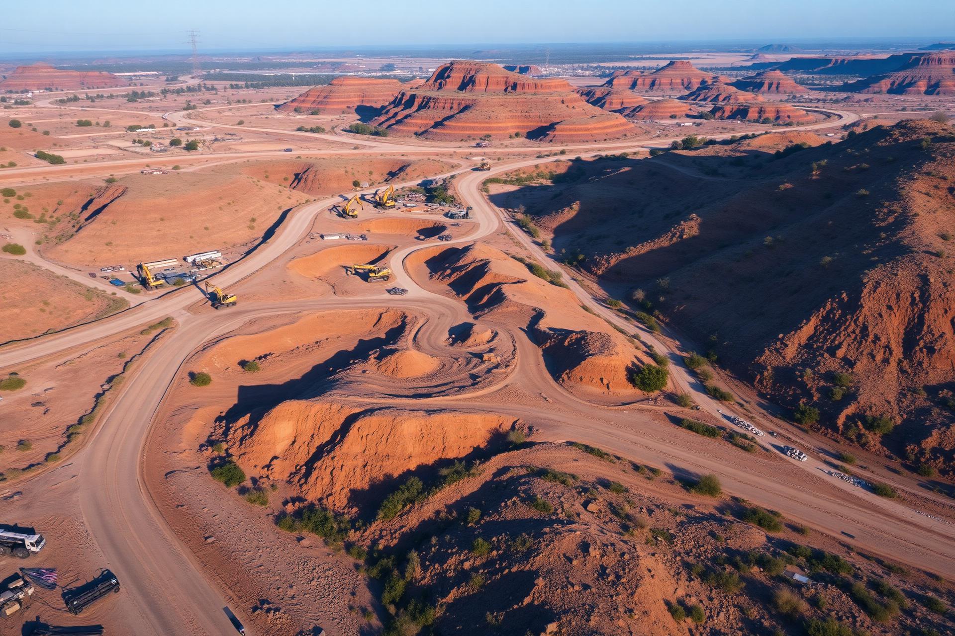
Precision from above.
Delivered in 48–72 hours.
Aerial mapping, 3D modelling, earthwork analysis and inspections for construction, civil engineering and infrastructure teams that move fast.
- FAA Part 107 Certified
- AUVSI TOP Level 2
- UAS Thermographer Level 1
- Fully Insured
- 48–72h Turnaround
- Survey-Grade Accuracy
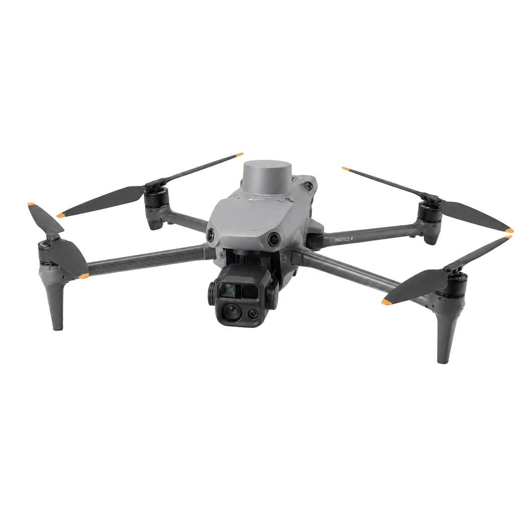
Five industries. One trusted aerial partner.
LD Drone applies the same survey-grade capture and fast processing to the sectors that depend on accurate data — from construction sites to infrastructure corridors.
Construction
Progress tracking, earthwork volumes and site documentation for busy contractors.
Inspections
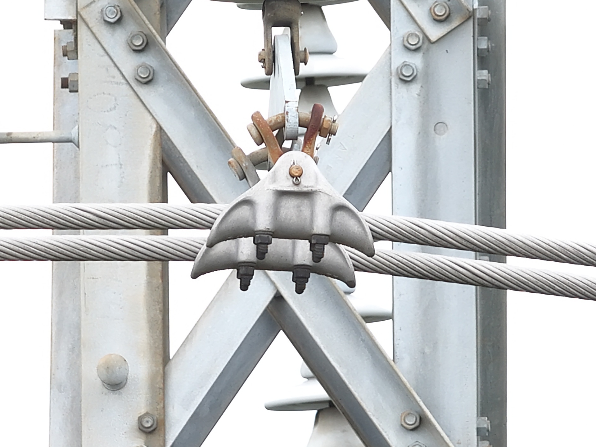
Roof, pavement, powerline and infrastructure inspections with measurable media.
Mining
Stockpile measurements, pit surveys and haul-road monitoring with fast turnaround.
Real Estate
High-resolution aerial imagery, video and 3D tours for property marketing.
Mapping & Surveying
Orthomosaics, 3D models, DEMs, contours and design overlays with survey-grade accuracy.
2D Orthomosaic Maps.
High-resolution, geo-referenced aerial imagery stitched from hundreds of overlapping photos — giving estimators, engineers and site managers a single true-to-scale view of the site.
- Ground sample distance down to 1 cm/px
- Geo-referenced to your coordinate system
- Measure distances, areas and features
- GeoTIFF, JPG, PDF and web tile exports
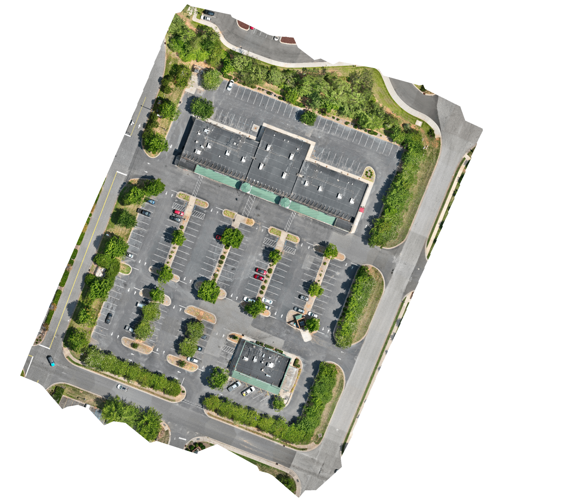
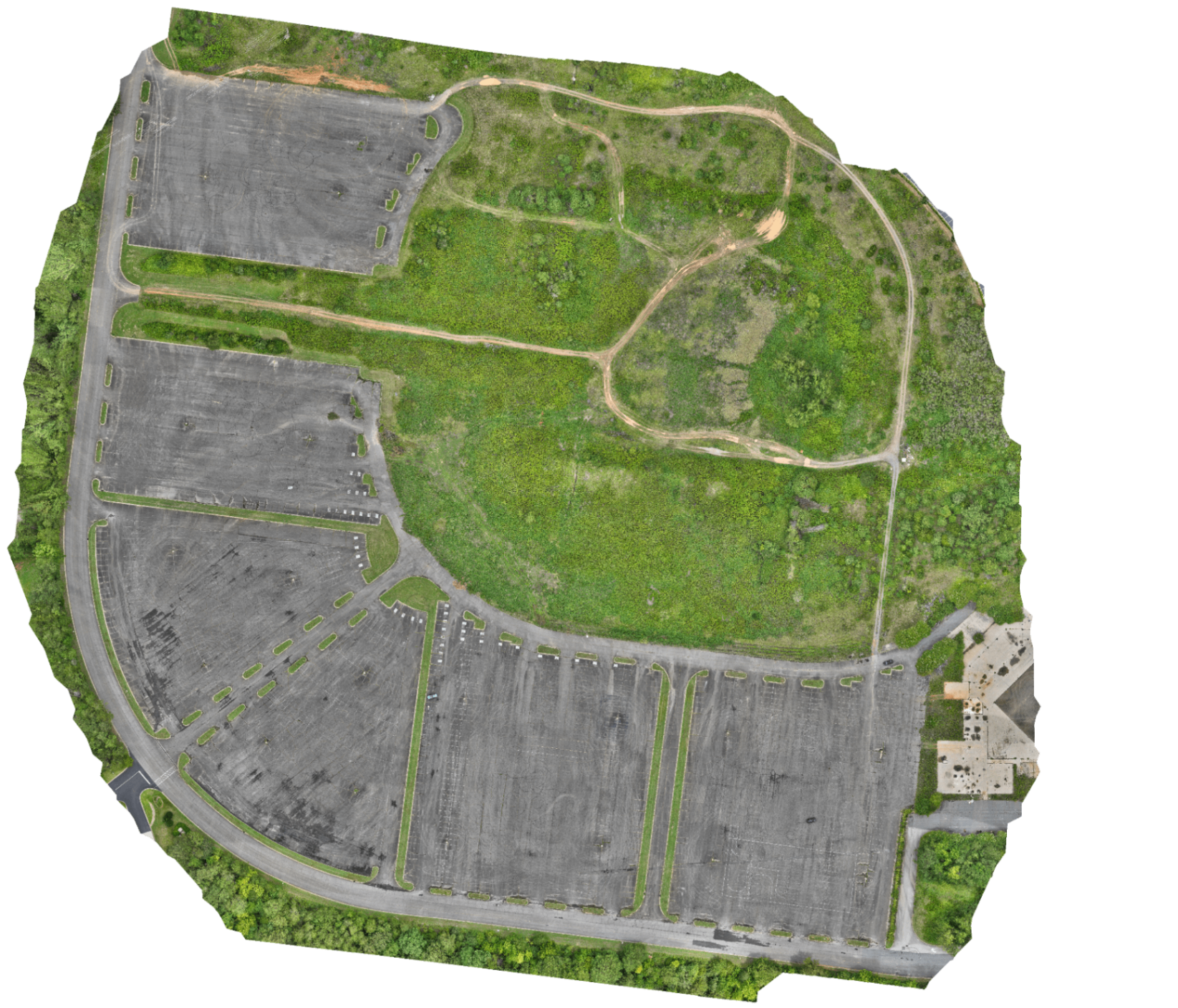
Orthomosaic paired with its DSM.
A single flight produces both a true-colour orthomosaic and a Digital Surface Model — giving you visual context and elevation data of the exact same site.
True-colour, geo-referenced site imagery.
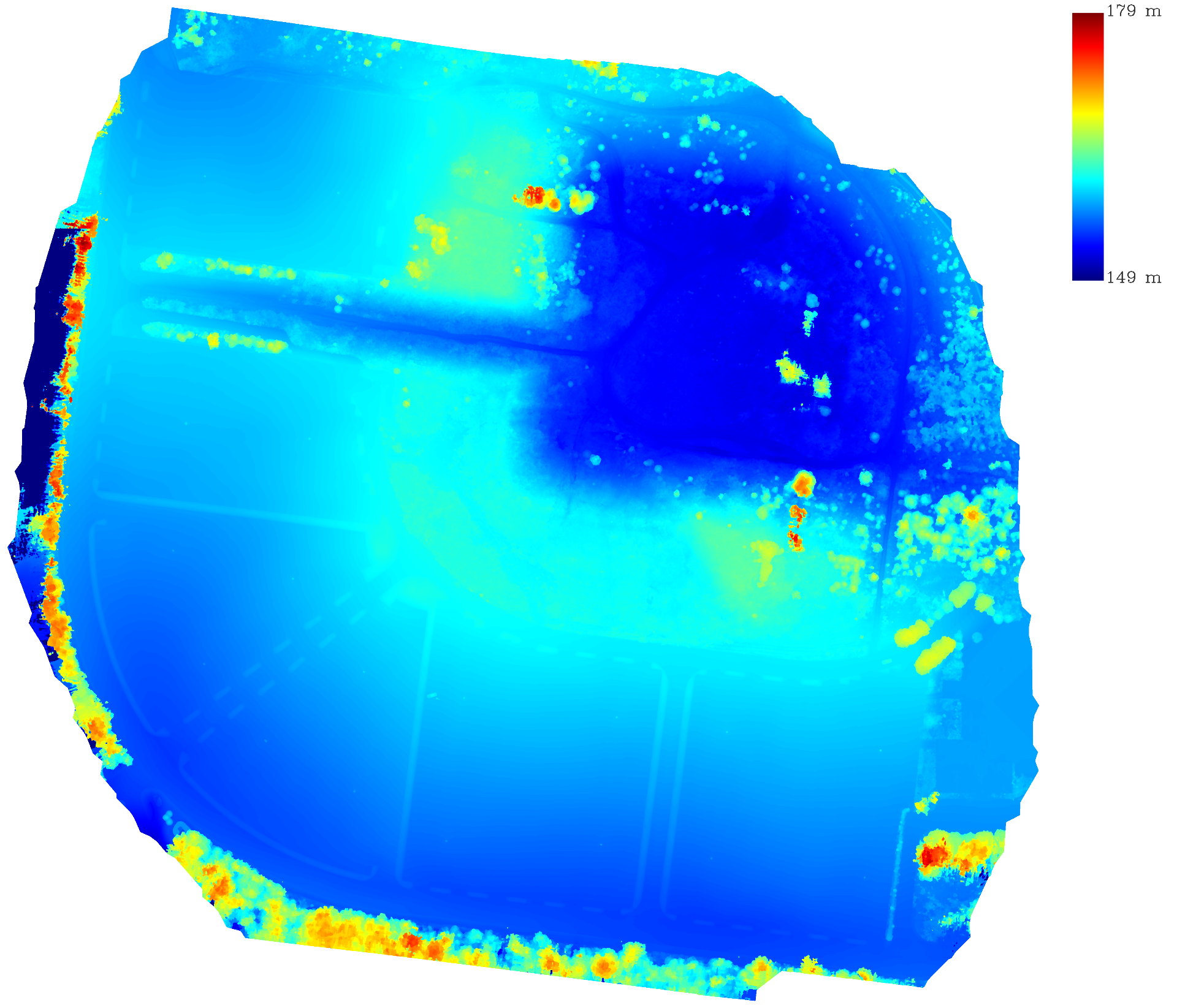
Elevation surface for grading, drainage and volume analysis.
Processing metrics from the DJI Terra quality report for this exact dataset — 1,082 images, all calibrated, RTK-fixed and constrained with image POS data.
Mission Parameters
- Average Flight Altitude
- 150.64 ft
- GSD
- 0.499 in/px
- Mapping Coverage
- 0.207131 km²
- Color
- 3 bands, 8-bit
Aerotriangulation
- Calibrated Images
- 1082 / 1082
- Projections
- 2,779,896
- Tie Points
- 381,984
0.786 px
0.067 ft
RTK Status
- Fix
- 1082
- Floating
- 0
- Single
- 0
- Other
- 0
RTK Positioning Accuracy
- Maximum (H / V)
- 0.134 in / 0.216 in
- Average (H / V)
- 0.13 in / 0.203 in
- Minimum (H / V)
- 0.128 in / 0.196 in
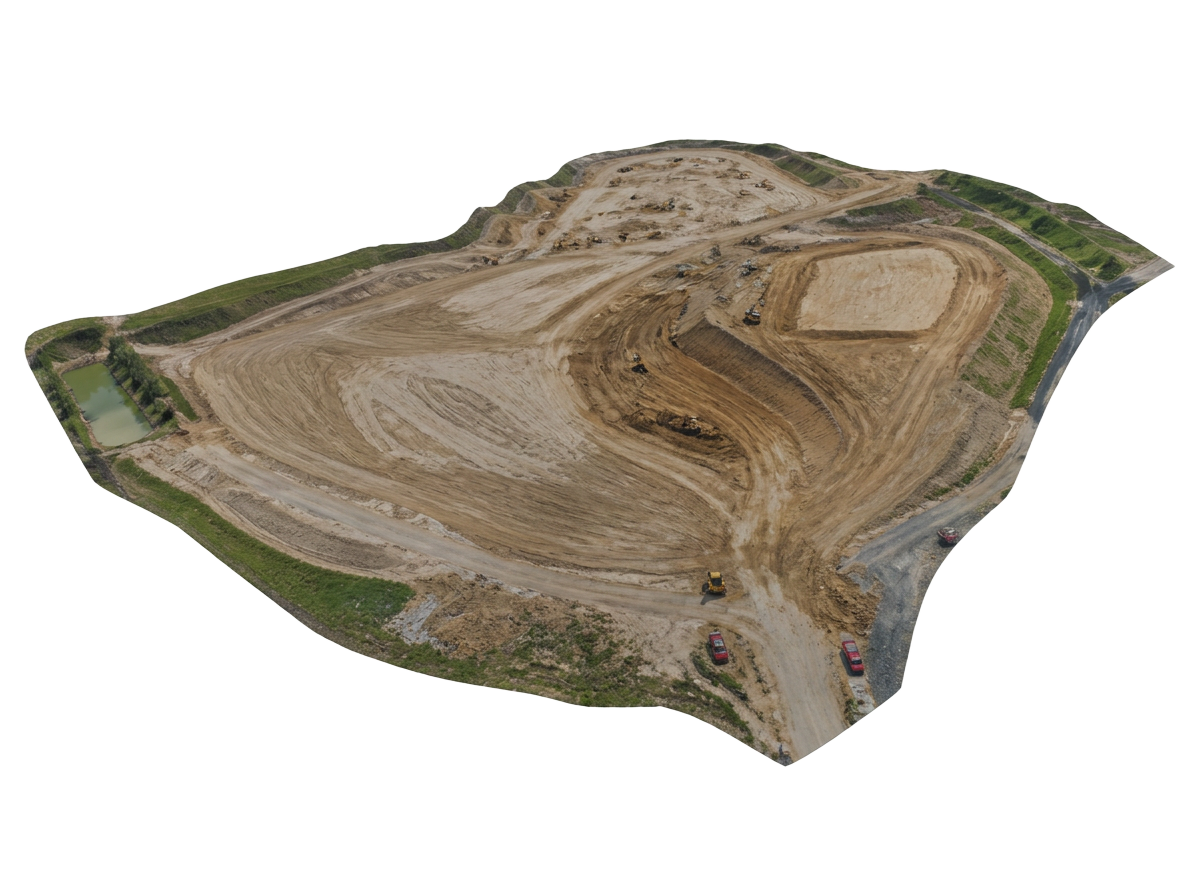
A textured 3D mesh produced from drone-captured imagery, used for earthwork volume calculations, cut-and-fill analysis, and design coordination.
Inspect what's dangerous to reach.
Detailed roof, pavement and infrastructure inspections with measurements, annotations and condition reports — no scaffolding required.
- Roof condition & measurements
- Pavement distress mapping
- Tower & facade inspections
- Annotated inspection reports
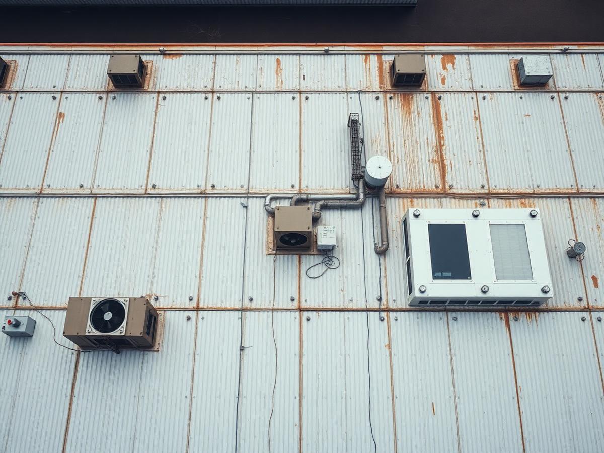
High-resolution aerial imagery of roof conditions and equipment, delivered with measurement annotations and condition reports.
Data you can build with.
48–72h turnaround
Processed deliverables in your hands within 3 working days of capture.
Certified & insured
FAA Part 107 licensed pilots with full commercial liability coverage.
Survey-grade accuracy
RTK/PPK workflows and ground control for centimetre-level results.
Recent work from the field.
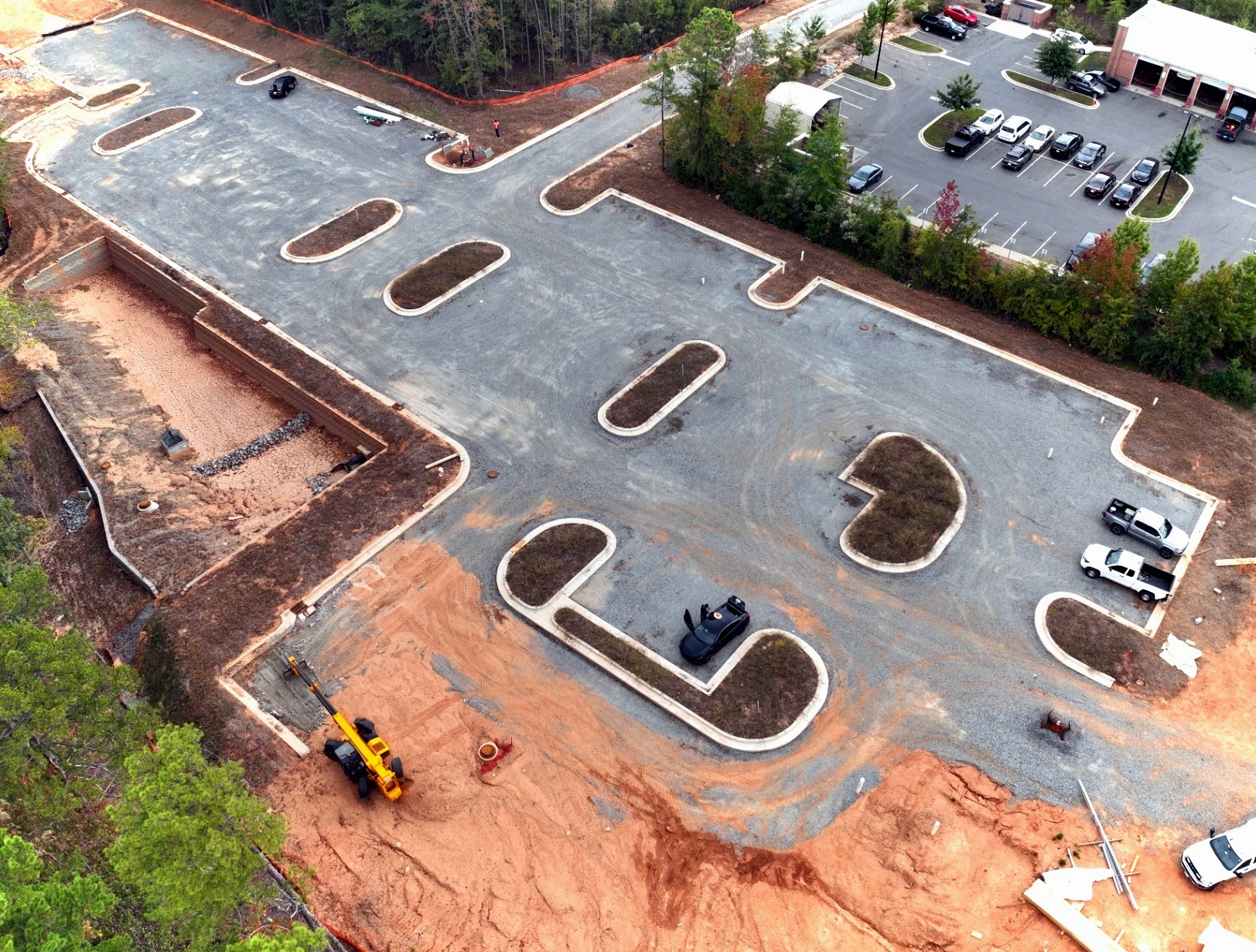
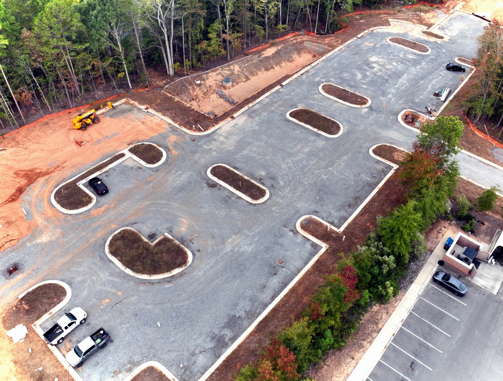
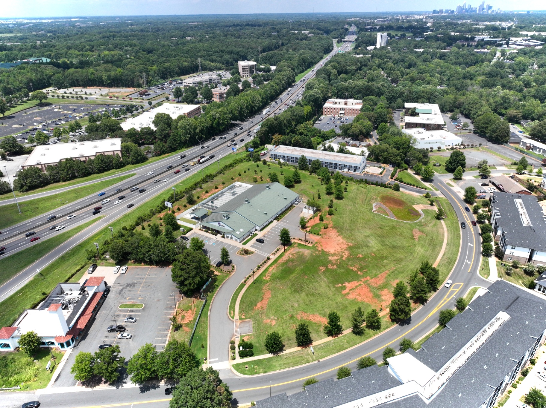
Aerial captures from active commercial construction sites — parking, roadway and site development progress.
Ready to fly your site?
Tell us the location and the deliverables you need. We'll come back with a fixed-price quote and a scheduled flight window — usually within 24 hours.