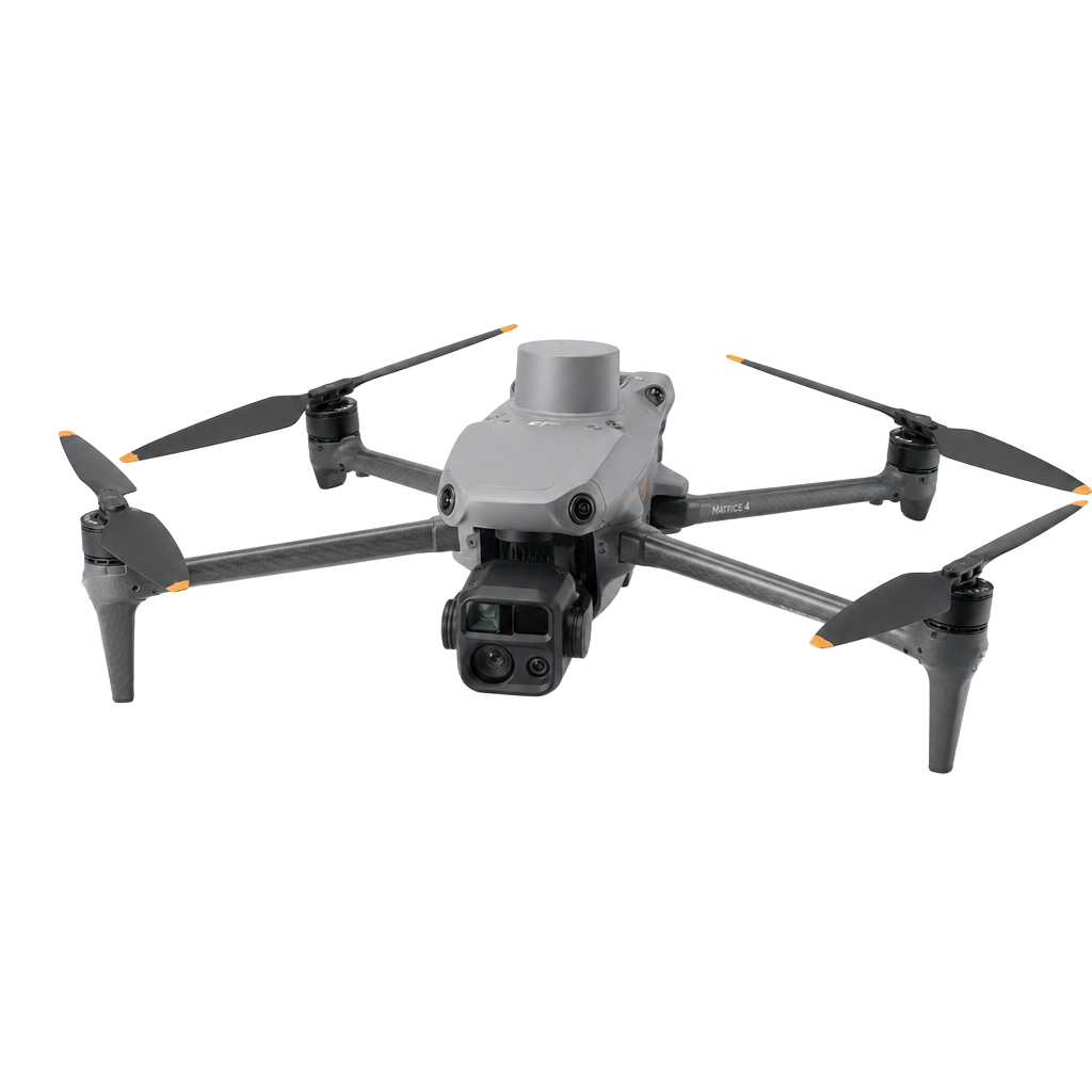
Survey-grade maps from the air.
LD Drone captures and processes aerial data into engineering-ready deliverables: orthomosaics, 3D models, DEMs, earthwork volumes and topographic contours — with 48–72 hour turnaround.
Everything from one flight.
A single site capture can produce multiple mapping products. Choose the outputs your engineering team needs.
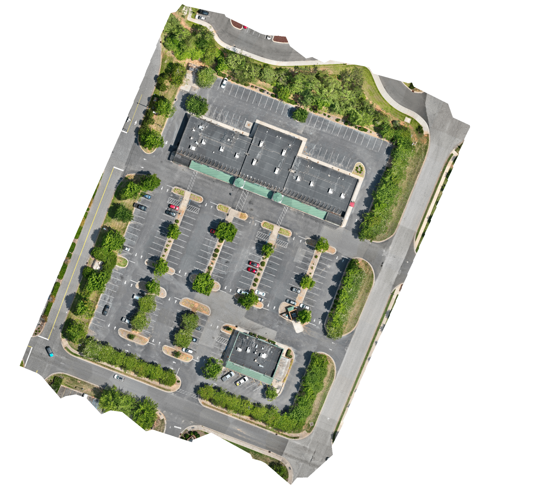
2D Orthomosaic Maps
Survey-grade, geo-referenced aerial imagery stitched to sub-centimetre resolution. Delivered as GeoTIFF, JPG, PDF or web tiles with coordinate-system alignment.
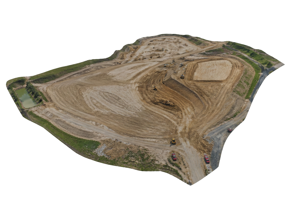
3D Models & Point Clouds
Photogrammetric meshes and dense point clouds for design review, BIM coordination and stakeholder visualisation. Compatible with Civil 3D, Revit and ArcGIS.
DSM · DTM · DEM
Digital surface, terrain and elevation models with bare-earth filtering and hydrology-ready surfaces. Exported as GeoTIFF elevation rasters.
Earthwork Cut & Fill
Compare progress surfaces against design or previous flights to quantify cut/fill volumes, stockpiles and grade conformance.
Topographic & Contour Maps
Contour maps generated at any interval, from 100 mm micro-topography to metre contours, with spot elevations and breaklines.
Designed Files Overlay
Overlay CAD and PDF design drawings on captured reality to verify as-built conditions, identify deviations and document progress.
From brief to deliverable in days.
- 1Share your site location and deliverables
- 2Receive a fixed-price quote within 24 hours
- 3FAA Part 107 flight crew captures the site
- 4Processed data delivered in 48–72 hours
FAA Part 107 certified
Commercial pilot license with full liability coverage.
48–72 hour turnaround
Processed deliverables returned within three working days of capture.
AUVSI Trusted Operator Level 2
Industry-recognized safety and operational standard.
UAS Thermographer Level 1
Certified thermal imaging for inspections and diagnostics.
Get a fixed-price mapping quote.
Tell us your site location and the deliverables you need. We reply within 24 hours.