01
Service 01
2D Orthomosaic Maps
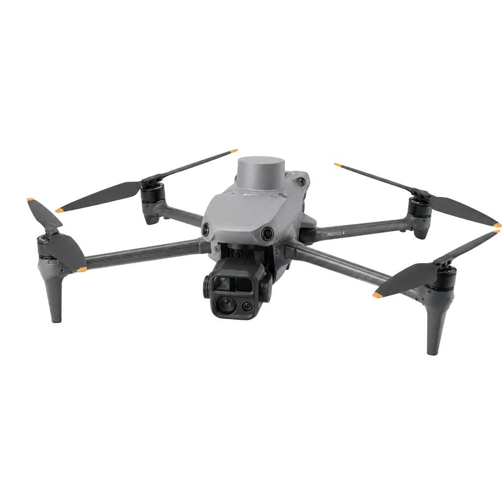
Geo-referenced, survey-grade orthophotos stitched from hundreds of overlapping aerial images. Delivered as GeoTIFF, JPG or web tiles.
- Ground sample distance down to 1 cm/px
- Coordinate systems to your project spec
- Web viewer sharing links