About
Built by pilots who understand engineering deliverables.
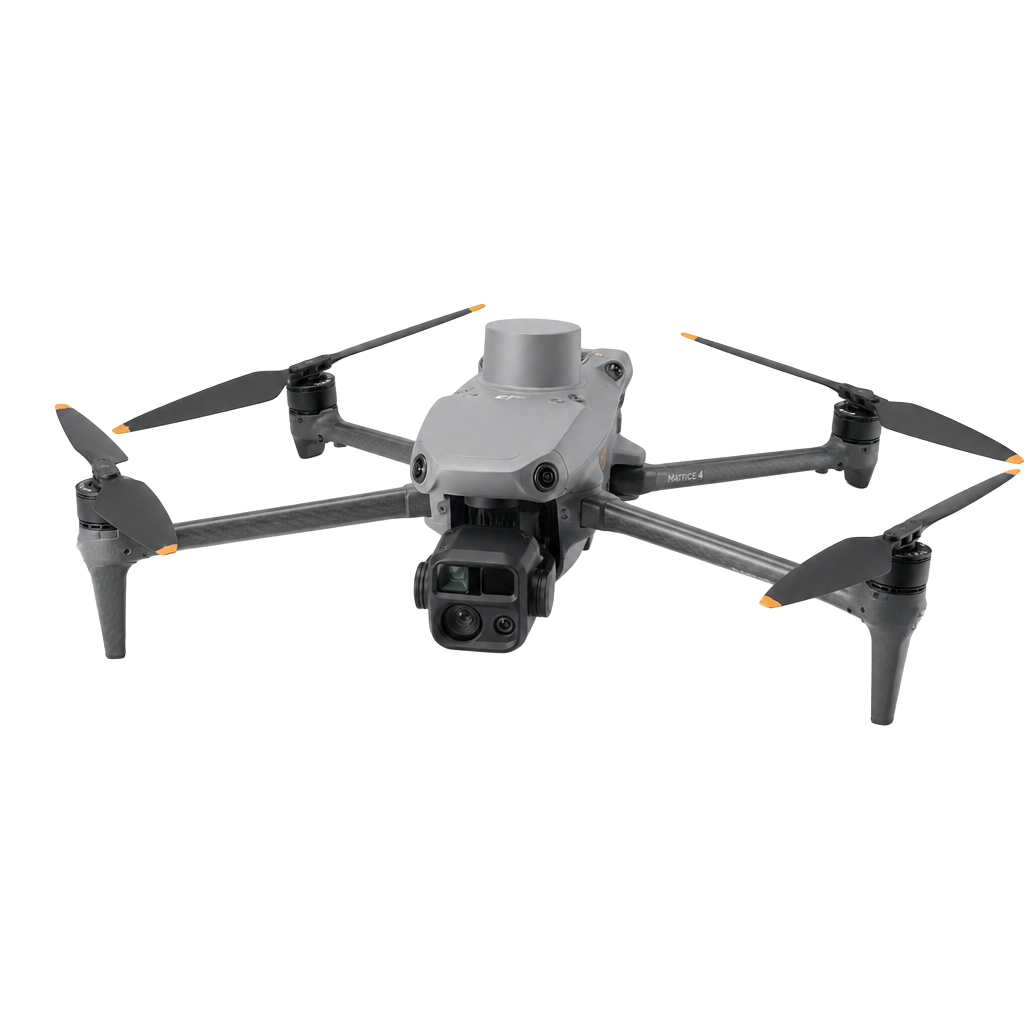
LD Drone is an aerial data company — not a photography studio. We fly, process and package data the way construction, survey and asset teams actually use it.
Our mission
Make survey-grade aerial data fast, affordable and immediately usable — from field capture to final deliverable.
Our approach
Every flight is engineered backwards from your deliverables. We plan, capture and process to the specification your teams need.
Our commitment
48–72 hour turnaround, transparent pricing, and long-term partnerships with the teams building tomorrow's infrastructure.
Industries
Who we work with.
Our clients build, inspect and maintain physical infrastructure — from housing developments to solar farms.
Construction
Civil Engineering
Land Development
Mining & Aggregates
Solar & Renewables
Real Estate
Insurance
Municipalities
48–72h
Standard turnaround
±2 cm
Survey accuracy
Part 107
FAA commercial pilot
3
Industry certifications