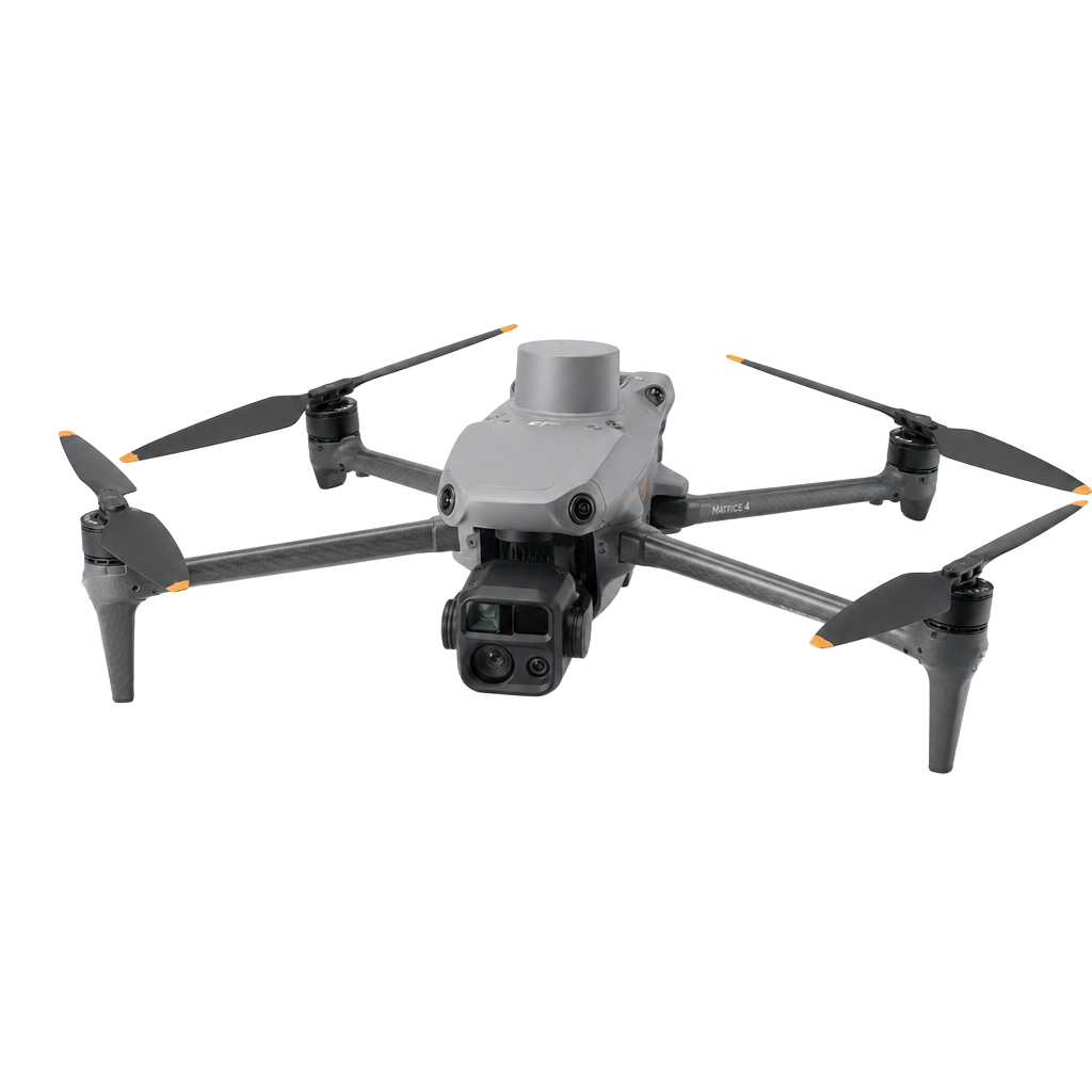
Recent work from the field.
Aerial captures, maps and models from active commercial projects. Every image represents a deliverable we can produce for your site.
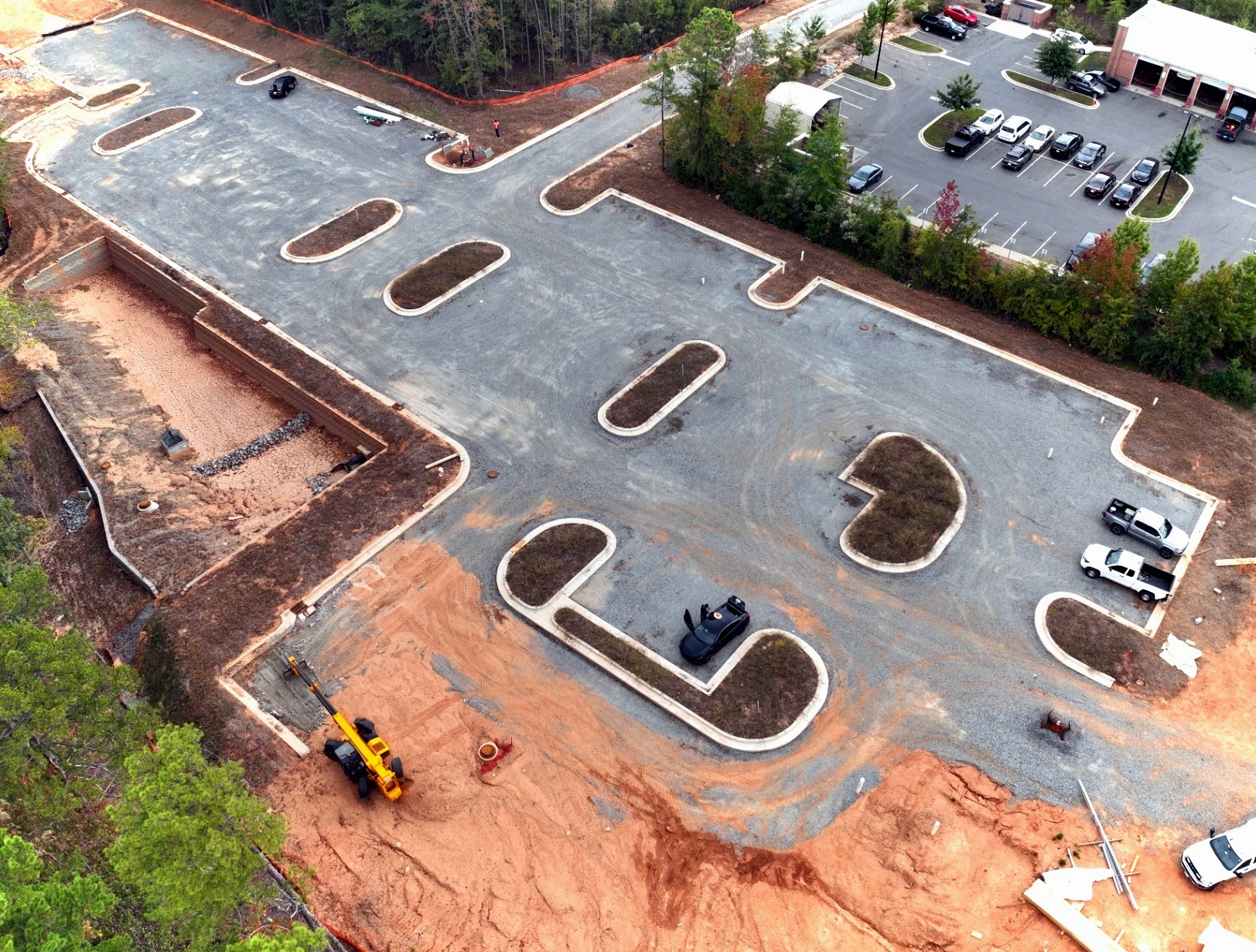
Commercial parking construction — grading and curb installation
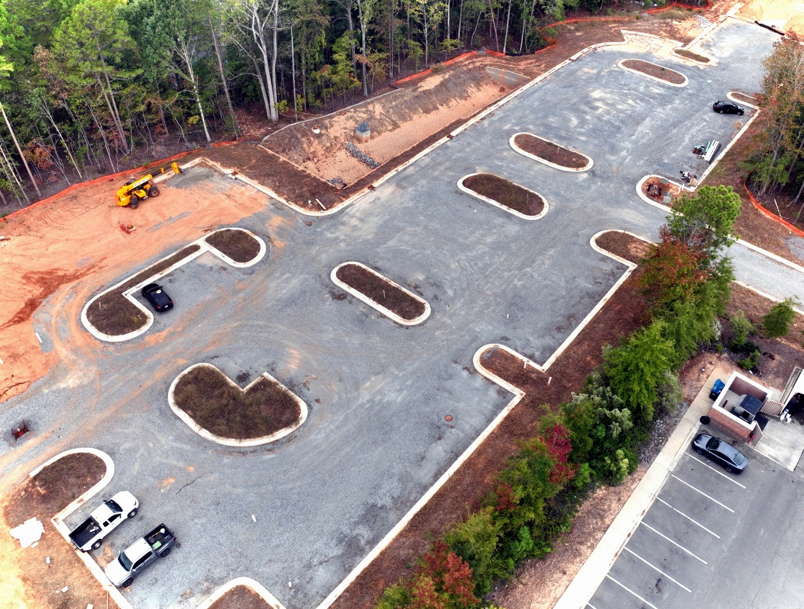
Site progress capture — asphalt and landscape islands
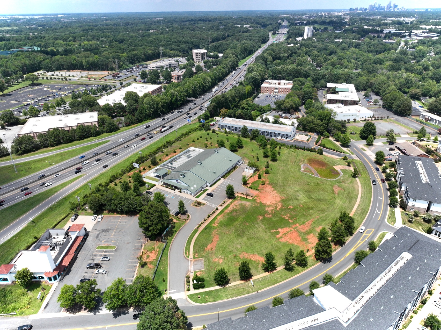
Aerial capture at 350ft — commercial site overview
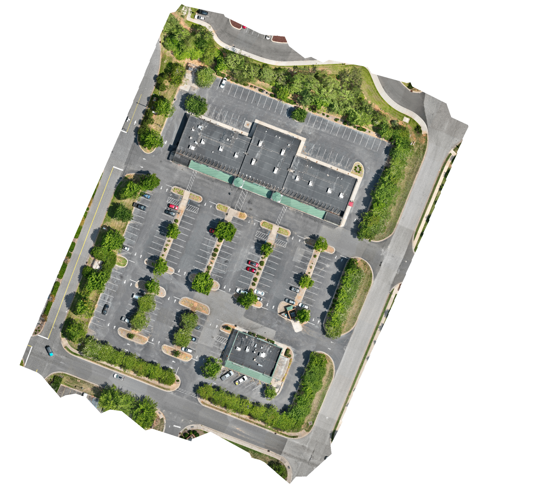
Geo-referenced orthomosaic map for planning and design
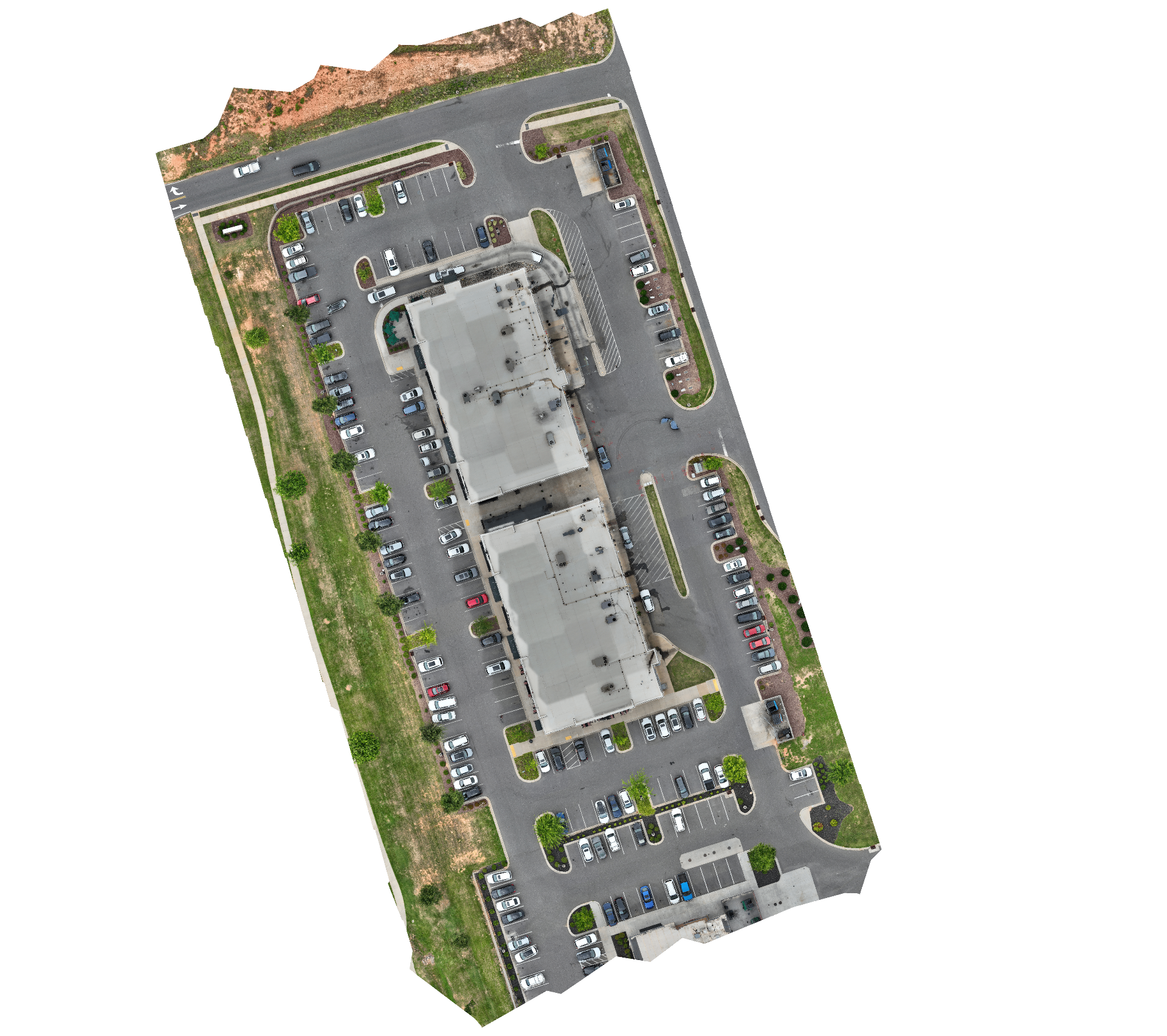
Orthomosaic capture for site planning and measurement
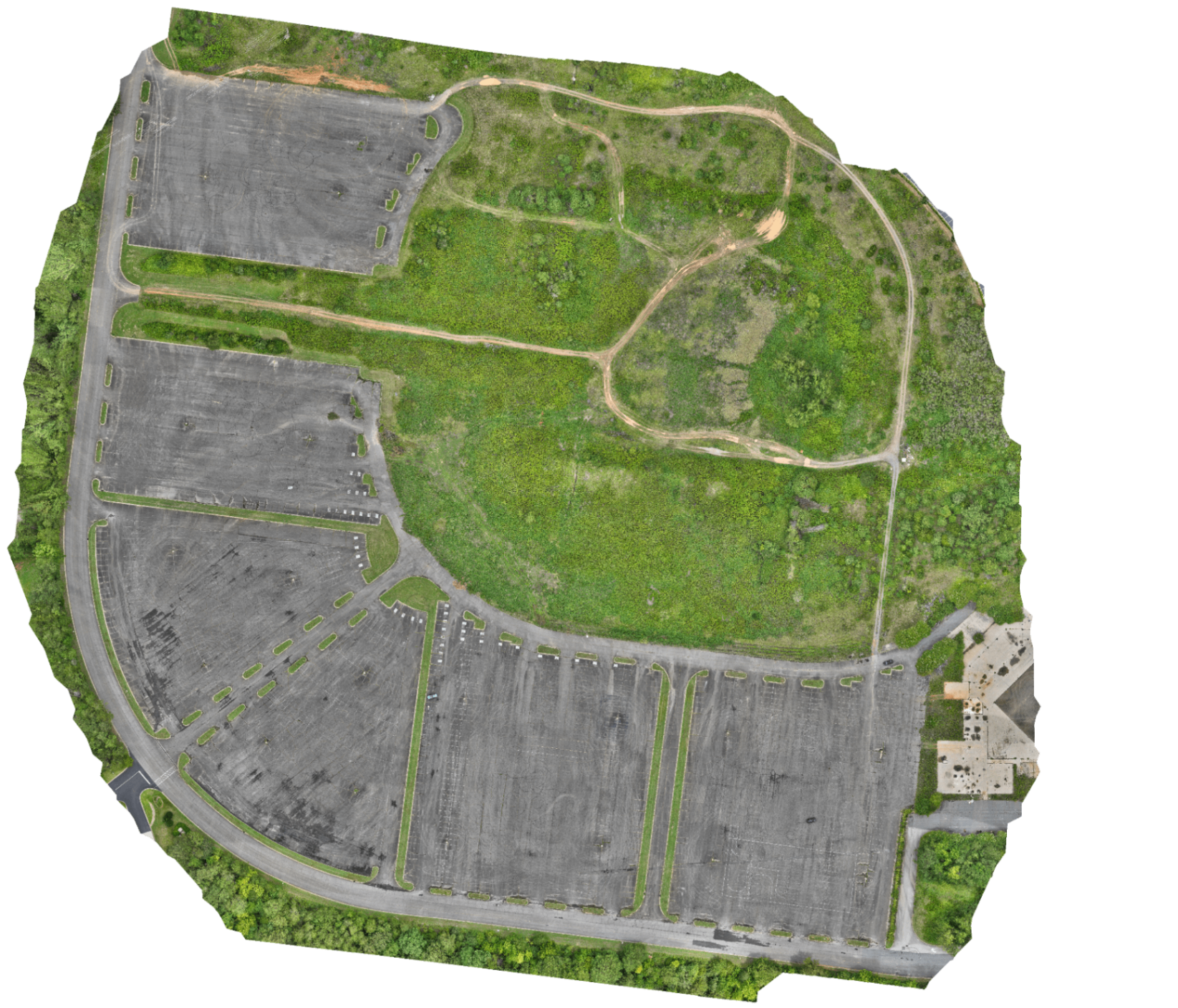
Orthomosaic — commercial parking & vacant lot site
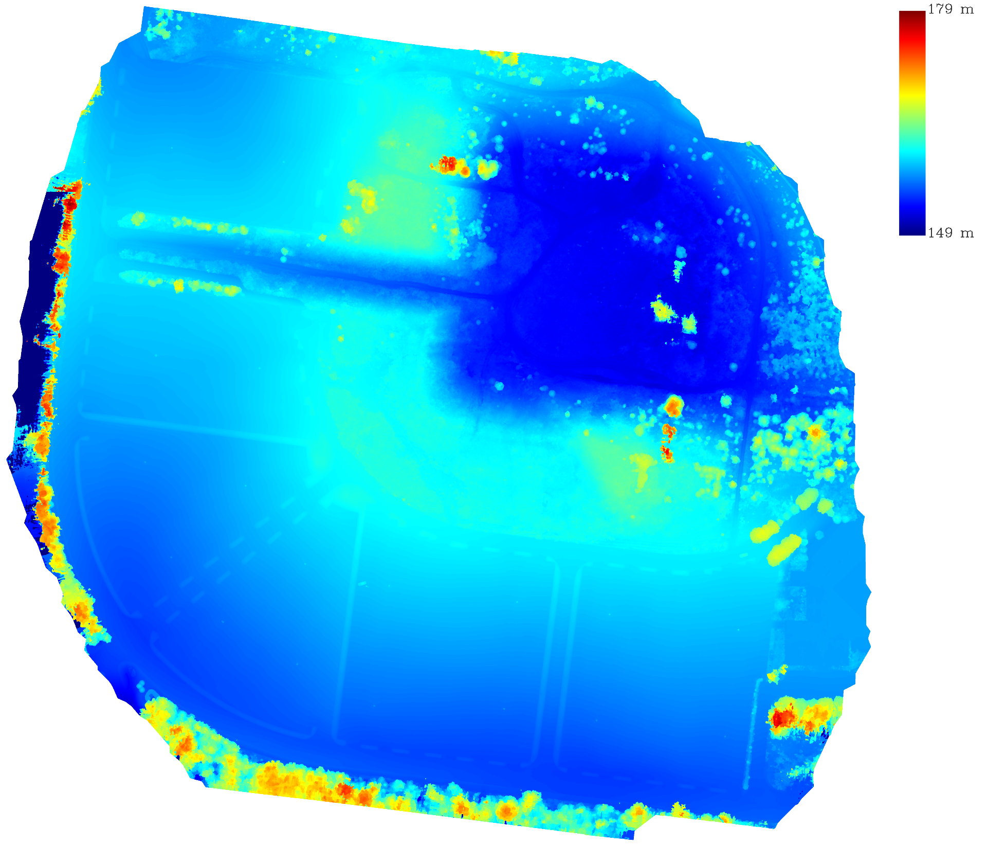
DSM of the same site — elevation 149–179 m
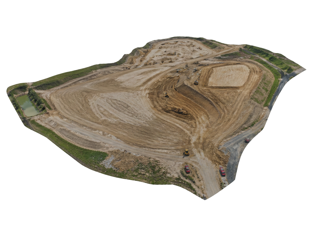
Textured 3D photogrammetry mesh for earthwork volume, cut-and-fill, and design coordination
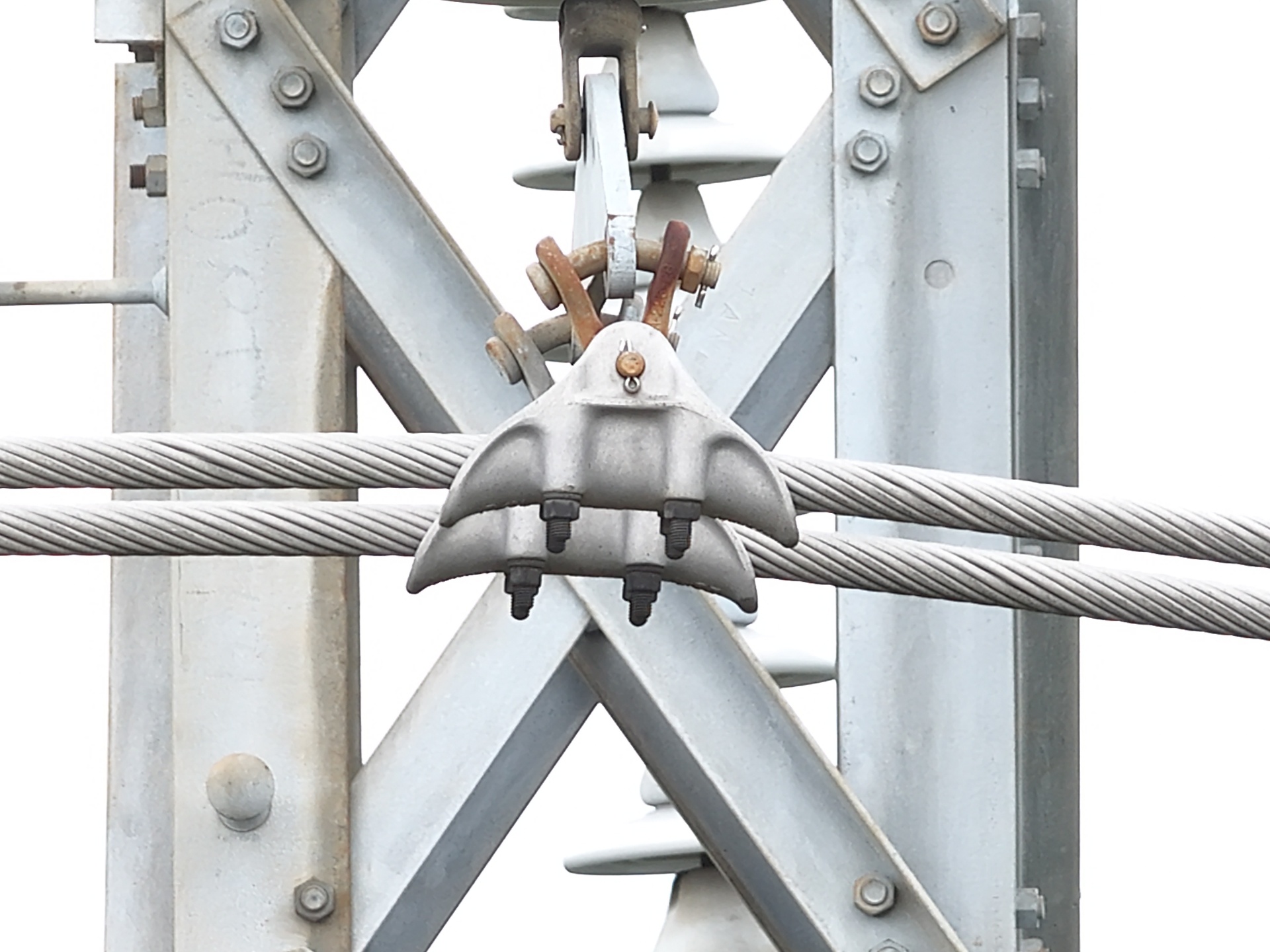
Powerline asset inspection — transmission tower hardware close-up
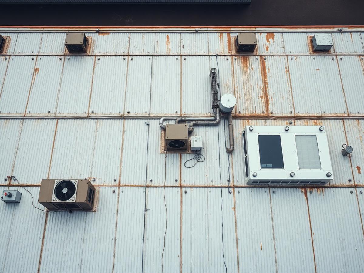
High-resolution roof inspection imagery with measurement annotations and condition reporting
Have a site that needs capturing?
Upload your photos or request a flight — we deliver maps, models and reports in 48–72 hours.